Severe Rainfall Threatens Arizona, New Mexico, Colorado, and Utah
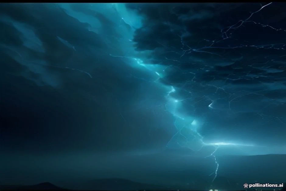
A powerful storm system is poised to unleash severe rainfall across the Four Corners region, putting Arizona, New Mexico, Colorado, and Utah on high alert. The National Weather Service has issued a broad Moderate Risk for the region’s complex terrain and recent burn scars, extending into southeastern New Mexico where soils remain nearly saturated from previous heavy rain. In Arizona, the National Weather Service in Phoenix warns of a “significant weather event” early in the week, with the heaviest rain expected late Monday night and Tuesday. The watch covers major cities including Albuquerque, Santa Fe, Española, Taos, Socorro, Ruidoso, Los Alamos, Grants, Gallup, and Farmington, and specifically flags recent burn scars such as those around Ruidoso and the Frijoles, Sacaton, Hummingbird, and Whiskey burn scars. The Ruidoso area remains a top concern due to its vulnerable landscape.nnMeanwhile, Hurricane Polo is churning in the eastern Pacific and is expected to approach the west coast of Baja California Sur on Monday, cross the peninsula Monday night, and approach northwestern mainland Mexico by early Tuesday. Hurricane Warnings are in effect for parts of both coasts of Baja California Sur. While Polo’s direct impact is focused on Mexico, its moisture could interact with the broader weather pattern, potentially exacerbating rainfall in the southwestern U.S. The combination of tropical moisture and the existing storm system raises the stakes for already saturated areas.nnThe Colorado River basin and its main tributaries are the center of concern, as the arrival of exceptional flows could push critical infrastructure—including dams and primary dikes—to their limits. In the mountainous areas of Colorado and Utah, the threat of landslides and mudflows is significant, especially in steep terrain and burn scars where vegetation has been stripped away. Residents and travelers in these regions should stay informed, heed evacuation orders, and avoid traveling through flooded roads or areas prone to debris flows. With the ground already saturated, even moderate rainfall could trigger rapid runoff and flash flooding.nnAs the situation develops, authorities are urging preparedness and caution. The National Weather Service continues to monitor model guidance, and updates are expected as the event unfolds. For those in the affected areas, having an emergency plan, staying tuned to local alerts, and being
 Shimanta Das