Heavy Rain and Flash Flooding Threaten Southeast and Ohio Valley as Rivers Rise
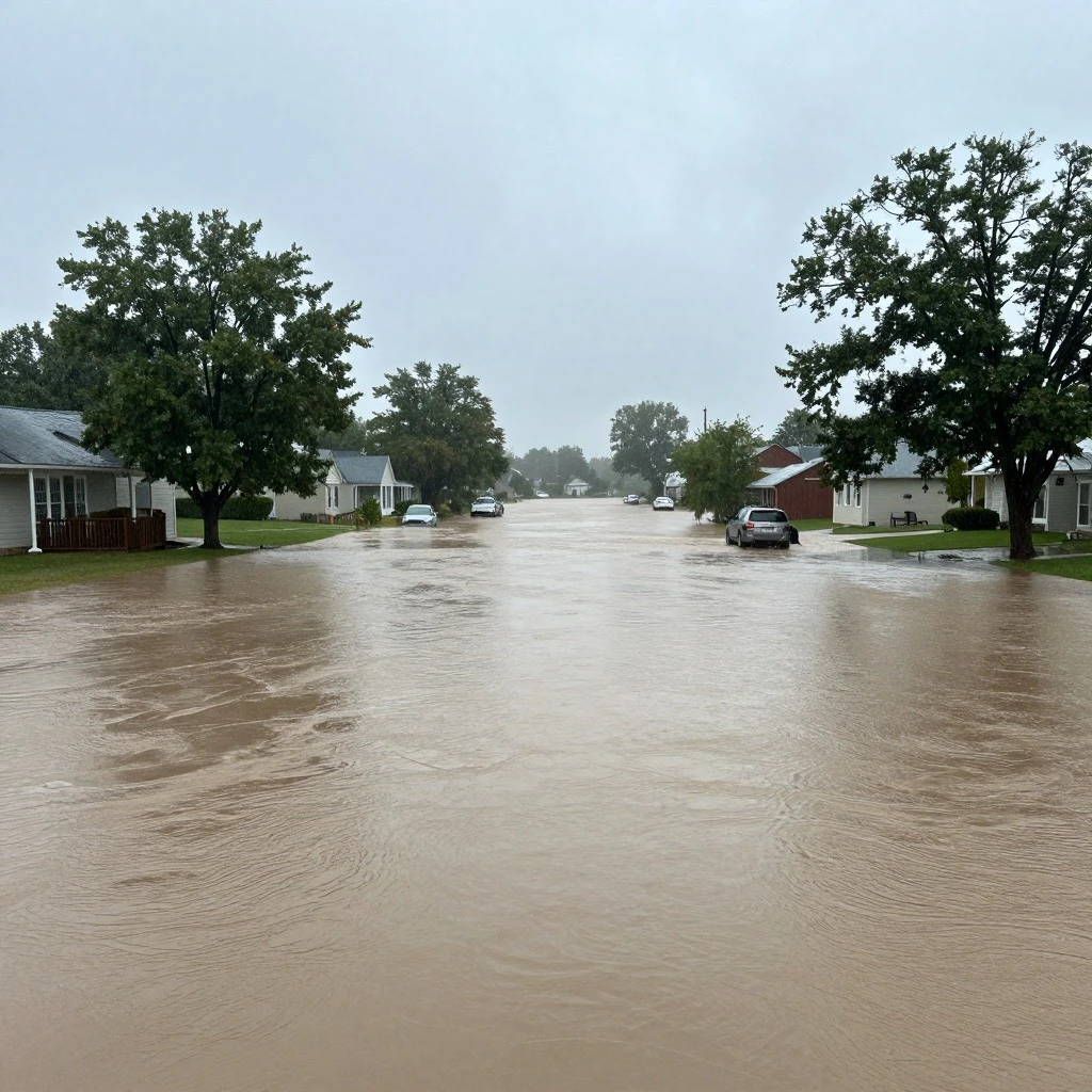
A slow-moving front and overnight storms are unleashing heavy rain and flash flooding across parts of the Southeast and Ohio Valley, with the exact strip of heaviest precipitation still uncertain. According to ABC News, parts of the Ohio Valley are under a significant flash flood threat today (Wednesday, September 16), with heavy rain expected from Northern Illinois to the Indiana-Ohio border. Flood alerts stretch from Louisiana to western Pennsylvania, encompassing major cities such as Atlanta, Nashville, Memphis, Birmingham, Louisville, Cincinnati, and Pittsburgh. While the severe weather and flash-flood threat on Sunday was much lower than in previous days, a few strong to severe thunderstorms remain possible into the afternoon as the unsettled weather sweeps east.
The multi-day event has already wreaked havoc across portions of the Lower and Mid-Mississippi River Valley, which remains under a high risk for flooding. As of Sunday, at least 18 river gauges were in major flooding stage from Arkansas to Indiana, and up to 50 river gauges are expected to reach major flood stage in the Mid-South and Midwest this week. Saturday was expected to be the final day of this high-impact flood event, but the aftermath will linger as rivers continue to rise. Damaging wind is the main concern in Oklahoma, while large hail is also possible in the stronger storms.
A Flood Watch remains a preparedness alert, not proof that every community is flooding. However, saturated ground and repeated downpours could make urban low spots and small streams particularly vulnerable. Flooding will be the main threat, especially in parts of Ohio, Pennsylvania, and West Virginia. Residents in affected areas should stay informed, avoid driving through flooded roads, and be ready to act if warnings are issued. As the system moves east, the risk will gradually shift, but the potential for dangerous flooding persists.
 Shimanta Das