
UK Weather: Heatwave Thunderstorms Bring Flood Risk After Record Dry Spell
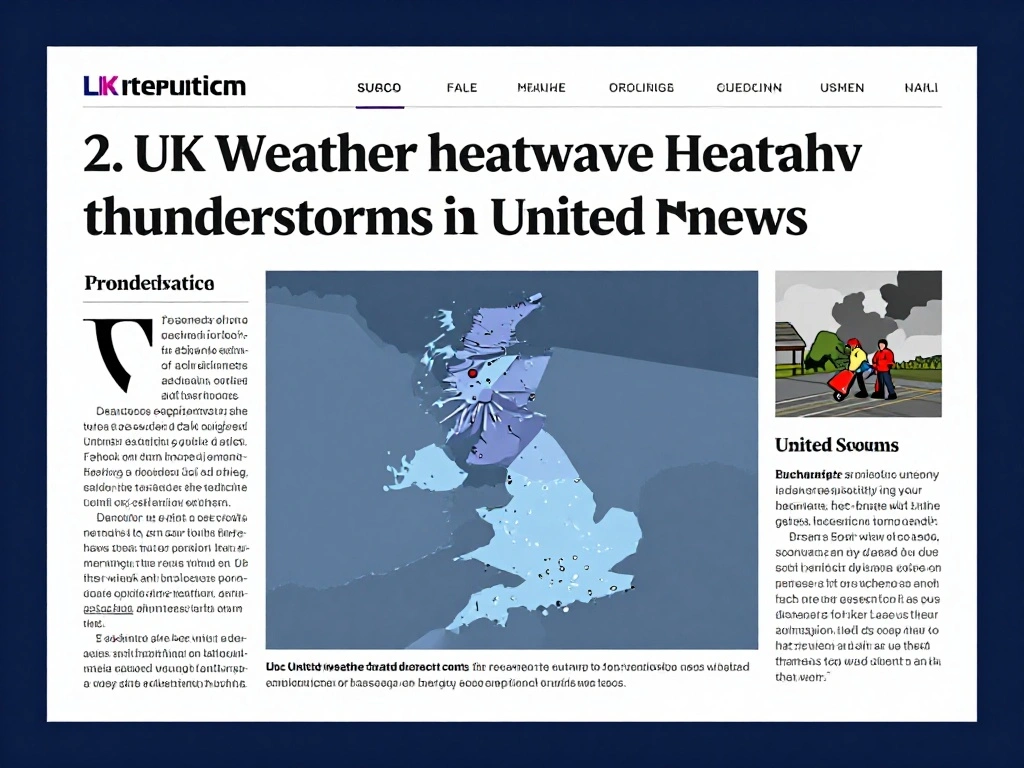
The United Kingdom is bracing for a dramatic shift in weather as the recent heatwave gives way to thunderstorms. While the scorching temperatures have brought widespread discomfort and health risks, the transition to cooler conditions is not without its own hazards. The primary concern now is the risk of flash flooding, particularly in areas that have experienced extreme dryness.
The prolonged lack of rain has left the ground parched and hard, creating a situation where rainfall struggles to be absorbed. As a result, even brief bursts of heavy rain are likely to cause significant pooling and runoff. This is especially concerning in regions like Wisley in Surrey, which has recorded 47 consecutive days without measurable rainfall, making it the driest location in the UK. Many other parts of the country have also received only a fraction of their normal rainfall in June and July, heightening the risk of sudden floods.
According to the latest 5-day forecast, the weather is turning cooler with rain mainly in the north, while eastern England is expected to remain mostly dry with the clearest skies. However, the south and east will experience a warm night, while other areas will be more comfortable. The Met Office has issued yellow warnings, and it is crucial to read the content of these warnings to understand which specific weather situation is being covered, as they can indicate anything from heavy rain to thunderstorms.
The UK experienced a record-breaking heatwave in June and July 2022, with temperatures exceeding 40°C in some areas. This extreme heat has had widespread impacts, including health risks, transport disruptions, and environmental damage. Farmers have reported a ‘lucky escape’ after a fire spread across a harvested field, highlighting the increased fire risk. Additionally, the heatwave is expected to affect food prices, as crops suffer from the dry conditions, potentially making your food shop more expensive.
As the nation transitions from extreme heat to thunderstorms, it is essential to stay informed and prepared. The combination of dry ground and heavy rain is a recipe for flash flooding, so residents in affected areas should monitor local forecasts and heed any warnings. While the cooler temperatures may bring relief, the potential for severe weather means vigilance is key.

 Shimanta Das