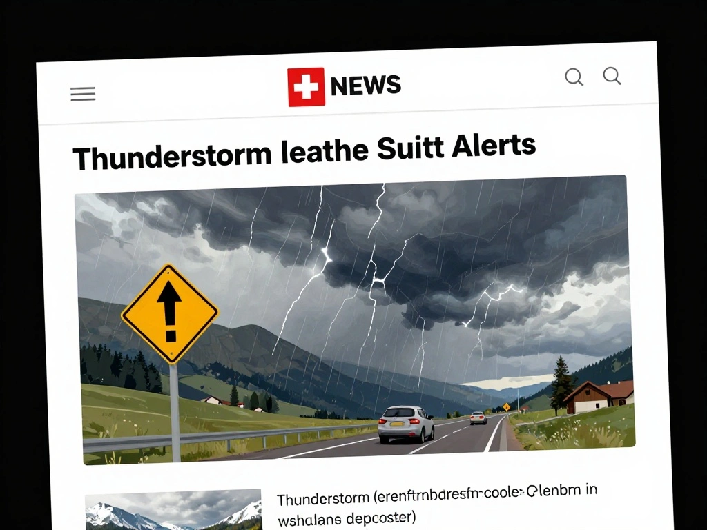
Thunderstorm Weather Alerts in Switzerland: What You Need to Know
Switzerland’s dynamic alpine weather makes thunderstorm forecasting critical for public safety and economic sectors. The country’s alert system, managed by MeteoSwiss and partners, provides detailed warnings for severe weather events, including thunderstorms, heavy rain, gales, and extreme temperatures. These alerts are essential for insurances, agriculture, and event organizers, who rely on accurate predictions to mitigate risks and plan accordingly.
The general alert map for Switzerland offers a comprehensive overview of current hazards. Users can view locations and regions where thunderstorms, storms, heavy precipitation, or freezing rain are imminent. The system also highlights risks like icy roads, extreme heat, or forest fires, with color-coded levels ranging from ‘no alerts’ to ‘severe weather warnings.’ For instance, a recent heatwave alert indicated significant risk of circulatory problems due to temperatures up to 36°C, with recommendations to stay hydrated and avoid peak heat hours.
Thunderstorm alerts are particularly vital during summer months when convective storms can develop rapidly. The warnings include possible impacts such as lightning strikes, hail, and flash floods, along with recommendations for action like seeking shelter or postponing outdoor events. The system updates regularly, with peak phases often lasting several days, as seen in a recent alert from Wednesday to Friday, with temporary relief expected due to thunderstorms on Friday.
For the public, staying informed through the MeteoNews App or website ensures access to real-time radar images, precipitation maps, and travel weather. Whether planning a mountain hike or managing a large event, understanding these alerts helps reduce risks and enhance preparedness. As climate patterns shift, the importance of reliable thunderstorm forecasting in Switzerland continues to grow, safeguarding both people and industries.

 Shimanta Das