Pacific Northwest Braces for Rain, Mountain Snow, and Wind
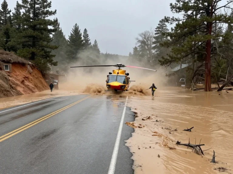
A powerful storm system is taking aim at the Pacific Northwest, threatening to unleash heavy rain, mountain snow, and strong winds across the region. Forecasters warn that the relentless storm cycle will push river levels to critical heights, cause widespread road and travel disruptions, and intensify avalanche threats in the Cascades. The affected areas include major cities such as Seattle, Tacoma, Portland, Eugene, and Spokane, as well as the Cascade passes. With another storm system strengthening offshore, flood risks will escalate significantly as coastal and low-lying regions receive back-to-back drenching rainfalls.
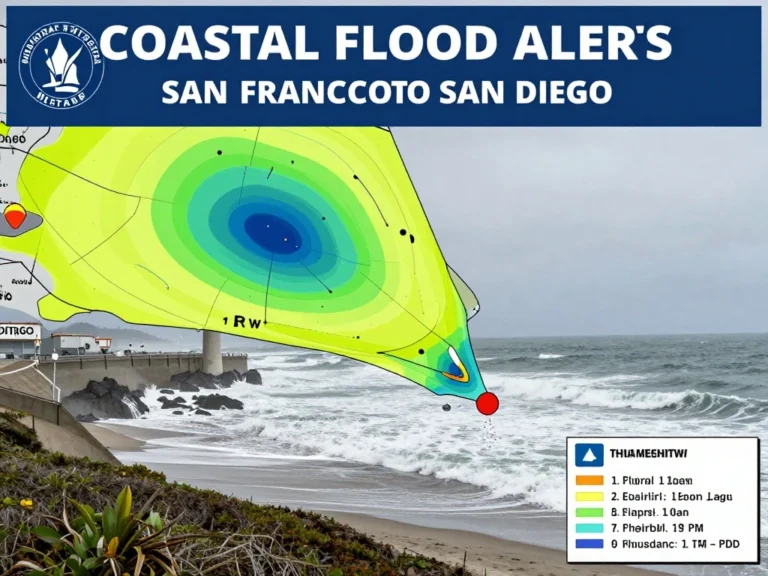
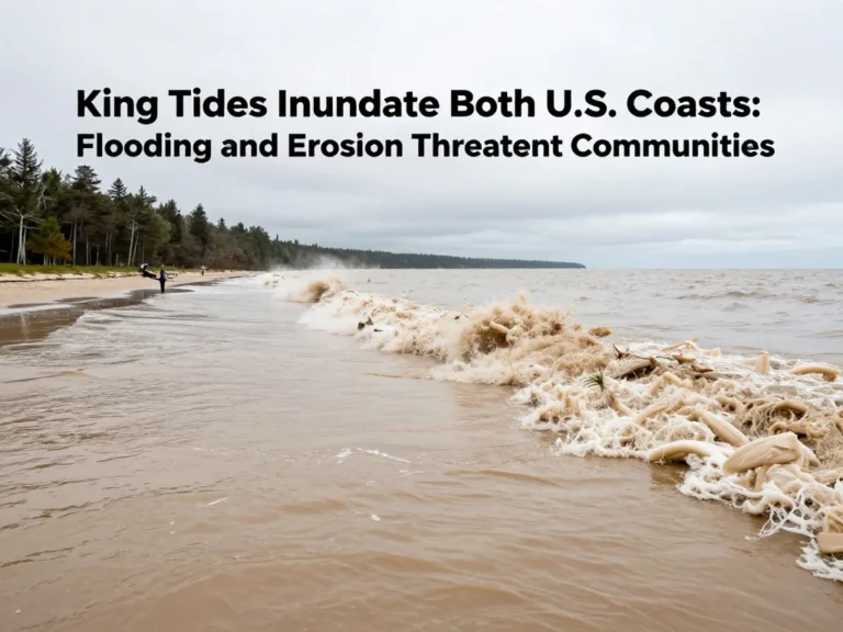
Along the coast of Washington, Oregon, and Northern California, the threat of significant waves and high winds will impact beach-goers. Major flight disruptions are expected at Seattle-Tacoma International Airport (SEA) and Portland International Airport (PDX). This increase in precipitation could lead to significant travel disruptions, particularly along key routes such as Interstate 5, Interstate 84, and U.S. Route 2. As a result, concerns for river flooding remain high, especially with the previous week’s snow melting and contributing to runoff, added Hinson.
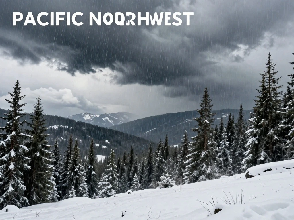
In the Cascade Range, the storm will dump heavy snowfall, creating treacherous travel conditions over the passes. Avalanche danger will soar as fresh rainfall destabilizes the snowpack, creating a high risk for avalanches from upper elevations down to valley floors. Forecasters are raising alarms over this significant threat, urging caution for anyone venturing into the backcountry. The combination of heavy snow and wind will make travel through the passes extremely hazardous.
Residents and travelers should stay informed and prepared. Download the KORD Mobile App for the latest updates and warnings. Winter can be challenging for park visitors, so if you’re planning to visit parks in Washington, be sure to review the 10 Winter Essentials for Visiting Parks in Washington. Stay safe and monitor local forecasts as this dynamic storm system evolves.
 Shimanta Das