Flash Flood Threat Expands Across Texas, Arizona, and the Mid-Atlantic
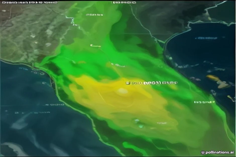
The flash flood threat has expanded across parts of Texas, Arizona, and the Mid-Atlantic, with the potential for widespread moderate to locally major tidal flooding around Wednesday afternoon and evening, September 23. According to Air Sports Net, the Southwest monsoon flood event continues to impact southern and central Arizona, where active Flood Watches remain in effect. The threat has also spread into more of New Mexico, raising concerns for areas from Kansas to Arizona. Flooding will be the main threat, especially in parts of Ohio, Pennsylvania, and West Virginia, where heavy rainfall could lead to rapid rises on streams and rivers.
In the Southwest, southeast Arizona burn scars are the fastest path to flash flooding today and tomorrow. Forecasters warn of possible Flash Flood Warnings if storms train over the same drainages repeatedly. The same story continues for southeast Arizona on Day 2, with another Marginal severe risk layered on top, mainly for hail and wind if storms fire again. Add 35 knots of deep layer shear, and you’ve got the ingredients for scattered strong to severe storms, mainly clusters that congeal and produce damaging outflow winds. Meanwhile, the OK/TX Panhandle and northeast New Mexico face upslope flow into higher terrain, with hail and wind as the main concerns.
On Wednesday, the threat shifts eastward to Missouri and central Illinois, where damaging wind gusts are the most likely hazard. The Storm Prediction Center has even penciled in a 2% isolated tornado chance for that zone, which is worth knowing if you’re headed to Wrigley Field or a Cardinals-adjacent event in the region Wednesday evening. However, the primary threat there remains wind and hail, not spin-up tornadoes. Additionally, fire weather conditions continue across the Great Basin and interior West, unrelated to the monsoon storms but running concurrently, with Red Flag warnings in effect.
Looking ahead, a stubborn ridge is set to build over the Plains, Midwest, and South through the extended period, keeping places like Kansas City and St. Louis hot and dry. Meanwhile, in the Pacific, the Big Island and Maui County face the clearest early concern from a tropical system, but forecasters say the track remains uncertain and could change the impacts. Residents in all affected areas should stay informed and be prepared to act if warnings are issued.
 Shimanta Das