
Met Office September Heatwave Forecast: What to Expect in the UK
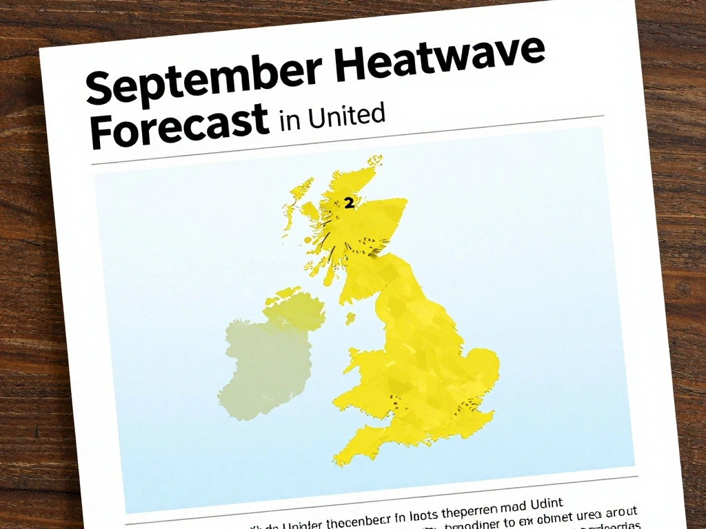
As the UK continues to experience record-breaking dry conditions, the Met Office has issued its latest forecast for September, indicating that more heatwaves and hot days are possible. This comes after England and Wales recorded their driest July on record, with hosepipe bans in place amid an ongoing drought. The Met Office has also warned of extreme heat this week, adding to the concerns of residents and businesses alike.
According to the Met Office, the general trend for the second week of September suggests that the UK will likely see changeable and unsettled weather. Temperatures are expected to remain near average, but strong winds may temper the heat. This means that while there is potential for warm spells, they may not be as intense as the recent heatwaves. The forecast also highlights that a warm night is expected, followed by a gradual cooling from the north.
In the immediate term, this evening and tonight will bring cloudy conditions with showers across Northern Ireland and Scotland, which could be locally heavy with isolated thunderstorms. These showers are expected to spread southeastwards. Elsewhere, a hot and sunny evening is forecast, staying warm overnight with clear spells. This mixed pattern is typical of early autumn, but the lingering heat is noteworthy given the dry summer.
The Met Office has also released the new set of storm names for 2025/26, with Amy, Bram, Chandra, and Dave being the first four on the list. Storms can be named by the Met Office, Met Eireann, or KNMI for impacts in the UK, Ireland, or the Netherlands. This proactive approach helps raise awareness of severe weather and ensures public safety. As September unfolds, staying updated with the latest forecasts is crucial, especially for those in areas affected by drought and extreme heat.

 Shimanta Das