Australia’s Fire Season: Real-Time Tracking, Historical Lessons, and Safety Essentials
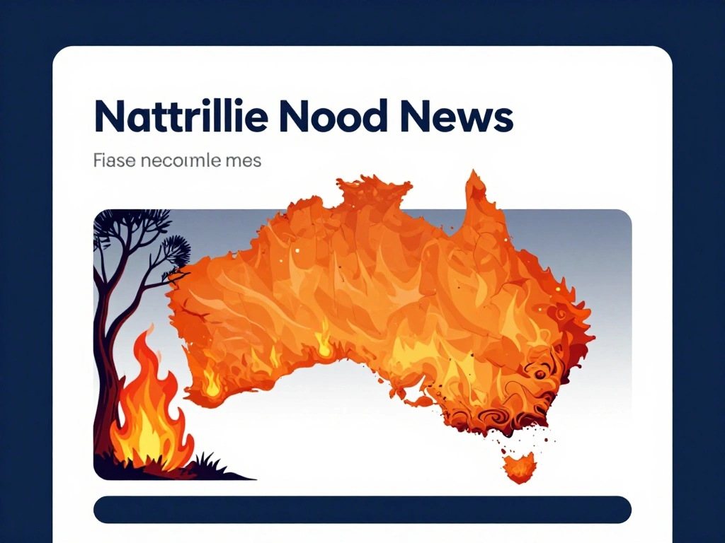
As bushfires continue to pose a significant threat across Australia, staying informed is more critical than ever. Our real-time tracker, which monitors all fire hotspots detected by NASA satellites across the nation’s six states and two territories, provides essential information for emergency services and the public alike. This tool is invaluable for understanding the current fire landscape, especially as fire seasons vary regionally. In the populous southeast—New South Wales, Victoria, and South Australia—the peak danger period runs from December to February, while northern tropical savannas typically burn during the dry season from winter into spring.
Australia’s fire history is marked by devastating events, none more so than the 2019-20 Black Summer. This catastrophic season burned over 18 million hectares, destroyed thousands of homes, claimed 34 lives directly, and affected an estimated 3 billion animals. Such events underscore the importance of understanding the primary causes and risk factors. Eucalyptus forests, with their oil-rich leaves, cause fires to burn fast and hot. Extreme heat and drought, often intensified during El Niño years, create tinderbox conditions. Dry lightning can ignite remote bushland, and strong, hot winds drive flames toward communities. Moreover, a warming climate is lengthening and intensifying fire seasons, making preparedness a year-round necessity.
Safety and preparedness are paramount. Knowing your Fire Danger Rating and having a written bushfire survival plan are essential steps. On days rated as Catastrophic, leaving early is always the safest option rather than waiting to defend your property. Utilize tools like the “Fires Near Me” app and local ABC radio for up-to-date warnings. Around your home, clear gutters, leaves, and other flammable materials to reduce risk. Never drive through smoke or flames—roads can quickly become death traps. For critical updates and alerts, always refer to your local state emergency or fire service, such as Victoria’s emergency.vic.gov.au. While our tracker offers a broad view, it is not intended for life-or-property preservation; always defer to official sources.
In the face of increasing fire threats, community resilience depends on awareness and action. By leveraging satellite technology, heeding historical lessons, and following safety guidelines, Australians can better protect themselves and their communities. Remember, preparation today can save lives tomorrow.

 Shimanta Das