BC Fire Map: Your Essential Guide to Canada’s Wildfire Tracking
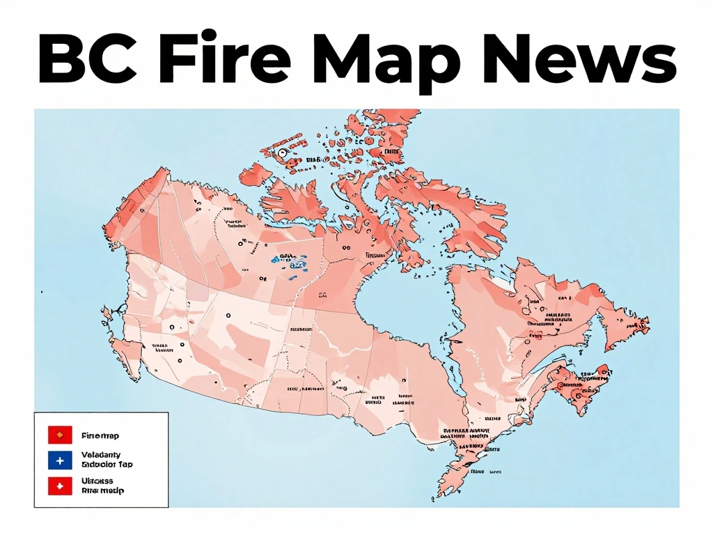
As wildfires continue to impact British Columbia, staying informed is crucial. The BC Fire Map, part of the FireRadar platform, provides a comprehensive, real-time view of active incidents across the province. This interactive tool aggregates data from official sources, including the BC Wildfire Service (BCWS), to offer current status, reported size, cause, and source timestamps when available. With 105 active official incidents and 322,329 reported active hectares, the map is an indispensable resource for residents, travelers, and emergency responders.
The FireRadar map is designed with clarity and safety in mind. It distinguishes between various data layers, ensuring that unlike datasets are not conflated into a single fire count. For instance, BC wildfire smoke is shown through the separate ECCC FireWork layer, while official emergency information remains with the responsible authorities. This separation helps users understand the full scope of the situation without confusion. Additionally, area restrictions, road information, and emergency directions are provided as separate official products, allowing users to access critical details without overwhelming the main map.
While the BC Fire Map is a powerful tool, it is essential to remember its limitations. FireRadar is an informational map, not an emergency notification or evacuation service. Counts change throughout the day, so users should check the map frequently for the latest picture. The platform also offers a Canada-wide interactive map with optional context layers, providing a broader perspective on wildfire activity across the country. However, the developers emphasize that users should always confirm critical details with the responsible agency before taking action, and in an emergency, call 911.
In summary, the BC Fire Map is a vital resource for anyone affected by or interested in wildfire activity in Canada. By presenting official data in an accessible format, it empowers users to make informed decisions. Whether you are monitoring a nearby fire or planning travel, this map offers a reliable snapshot of the current situation. Remember to use it as a guide, not a substitute for official alerts, and stay safe during wildfire season.
 Shimanta Das