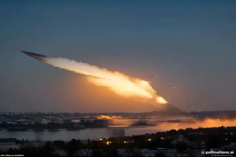
West Texas Braces for Excessive Rainfall and Flooding Threat
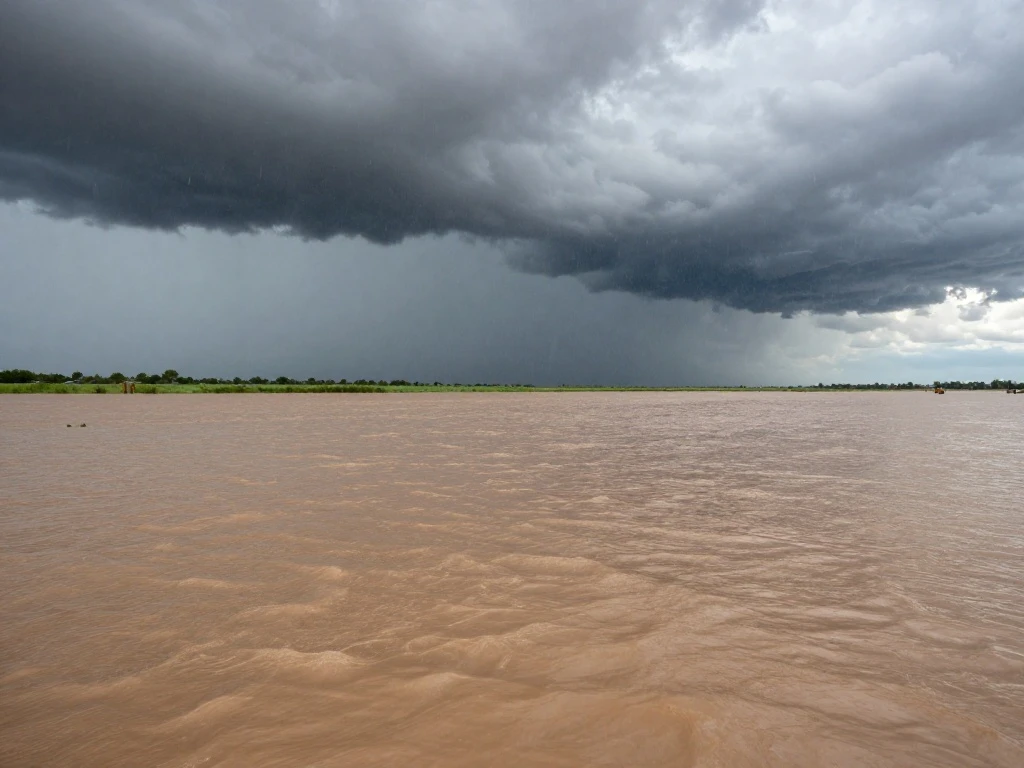
West Texas is facing a significant threat of excessive rainfall and potential additional flooding as a slow-moving storm system continues to drench the region. The National Oceanic and Atmospheric Administration’s Weather Prediction Center (WPC) has maintained a Moderate Risk of excessive rainfall over portions of West Texas through 12:00 UTC on October 16, warning that additional thunderstorms and flooding remain possible. This alert underscores the seriousness of the situation, as moderate risk levels indicate a higher potential for flash flooding that could impact communities and infrastructure.
Farther north, rainfall had already produced flooding before the main West Texas risk period began. A warning for that area expired at 08:00 CDT (13:00 UTC) after the heavy rain ended, but the National Weather Service (NWS) continued to advise motorists to observe remaining road closures and exercise caution. Meanwhile, a Flood Watch remained in effect for portions of the Rolling Plains and southern Texas Panhandle through noon, with the NWS office’s 05:38 CDT outlook calling for scattered to numerous showers and thunderstorms to continue over the Rolling Plains through the first half of the day. The primary West Texas threat remained additional excessive rainfall through early October 16, keeping emergency officials on high alert.
Flood Watches also extend beyond West Texas, covering parts of Central Oklahoma and into southeastern Kansas through Thursday evening. This broader watch area highlights the regional scope of the weather system, which has the potential to cause flooding across multiple states. State officials are encouraging Texans to remain aware of changing weather conditions, monitor local forecasts, and follow instructions from emergency management officials. Residents in affected areas should stay informed and be prepared to take action if flooding occurs.
In addition to the weather hazards, some users may encounter difficulties accessing online resources due to technical issues. A required part of this site couldn’t load, which may be due to a browser extension, network issues, or browser settings. Users are advised to check their connection, disable any ad blockers, or try using a different browser to ensure they can access critical updates and information during this severe weather event. Staying connected and informed is essential for personal safety and community resilience.

 Shimanta Das