Typhoon Dolphin Intensifies: Japan Braces for Severe Weather
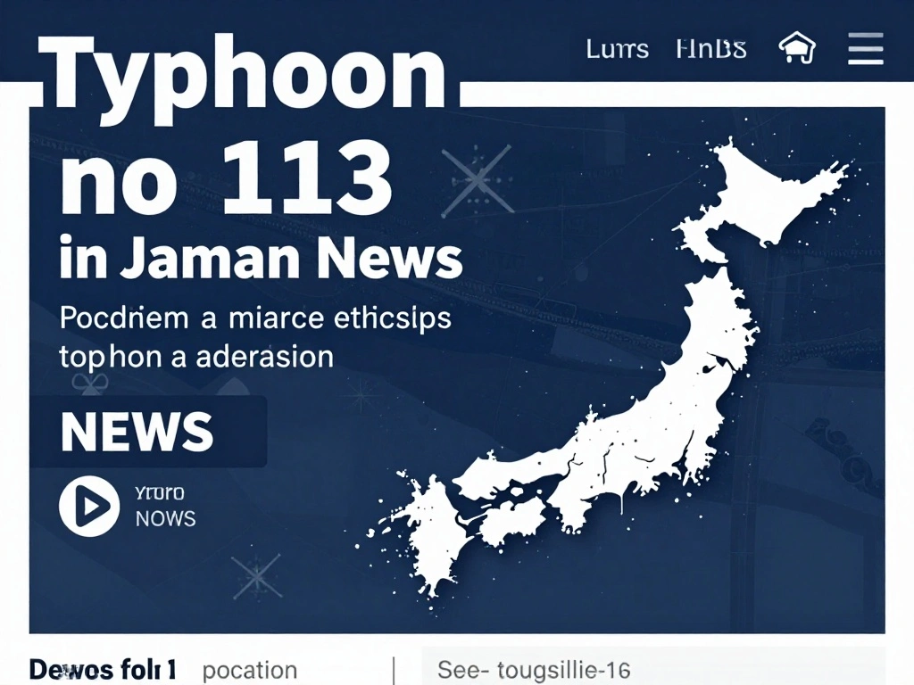
Typhoon Dolphin, designated as Typhoon No. 13, is rapidly intensifying as it moves through the western North Pacific, according to the latest update from RSMC Tokyo – Typhoon Center. The storm, which formed on the afternoon of July 27, is expected to become a violent typhoon, drawing in clusters of highly developed clouds. While forecasts remain sharply divided on whether it will directly hit Japan, the storm’s broad circulation is already prompting urgent warnings for the Ogasawara chain and other regions.
As of the latest advisory, Dolphin is forecast to pass near Iwo Jima with very strong intensity. Although the center is predicted to track south of the main inhabited islands, its expansive wind field is expected to bring severe conditions across the Ogasawara chain. Residents and visitors are strongly urged to stay away from beaches and ports and remain in safe locations, as winds and waves could intensify rapidly. The Japan Meteorological Agency emphasizes that even areas outside the forecast cone may experience dangerous conditions due to the storm’s size.
By August 7, Dolphin is expected to reach the vicinity of Okinawa’s main island, retaining maximum sustained winds of around 40 meters per second (approximately 144 km/h) and gusts up to 60 meters per second (216 km/h). Rainfall is forecast to intensify around the Daito Islands on August 6, and across Okinawa’s main island and Amami on August 7. These heavy rains could lead to flooding and landslides, and authorities are advising residents to prepare for potential evacuations.
Forecast uncertainty remains relatively limited through August 1, resulting in a comparatively narrow forecast cone. However, beyond that, the storm’s path becomes less certain, with models diverging on whether Dolphin will curve away or make landfall. The RSMC Tokyo – Typhoon Center reminds the public that its information is not an official warning; national meteorological services issue official advisories. Nevertheless, given the potential for rapid intensification, everyone in the affected areas should monitor updates closely and heed local guidance.

 Shimanta Das