Severe Storm Threat Targets Southern Plains and Mississippi Valley This Weekend
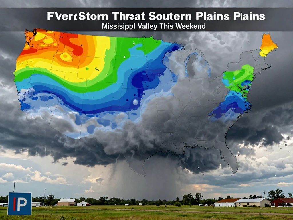
A dynamic weather pattern is set to unfold this weekend, with the Southern Plains and Mississippi Valley bracing for potential severe thunderstorms. An anomalous upper-level low digging into northern Mexico will slowly move southeastward over the next couple of days, setting the stage for unsettled conditions across the region. Forecasters are closely monitoring the evolution of this system as it taps into warm, moist air from the Gulf of Mexico.
On Sunday, the primary focus for severe weather will shift to western Texas, Oklahoma, and southern Kansas. A dryline stretching through these areas will act as the main trigger for thunderstorm development as moisture streams northward. Storms are expected to organize into clusters or short lines, though a few may remain more isolated. Large hail is expected to be the primary threat early on, with some stones potentially exceeding two inches in diameter. Additionally, a brief tornado or two cannot be ruled out if storms maintain a more discrete structure. Residents in these areas should stay alert and have a way to receive warnings.
Looking ahead, the FOX Forecast Center is monitoring yet another risk for severe weather on Monday and Tuesday of next week. Tornadoes, large hail, and damaging winds are possible as the system progresses eastward. The threat will extend into the lower and middle Mississippi Valley, where severe thunderstorms and flash flooding are possible. The Storm Prediction Center (SPC) has highlighted these areas in its Day 1 Outlook, urging preparedness.
As the upper-level low continues its slow trek, the atmosphere will remain primed for severe weather. The combination of the dryline and abundant Gulf moisture will create an environment favorable for storm development. It is crucial for residents in the affected regions to stay informed, review their severe weather plans, and heed any warnings issued by local authorities. Stay tuned to reliable weather sources for the latest updates as this situation evolves.

 Shimanta Das