
Rare Tornado Watch and Flash Flooding Batter Arizona as Severe Storms Strike
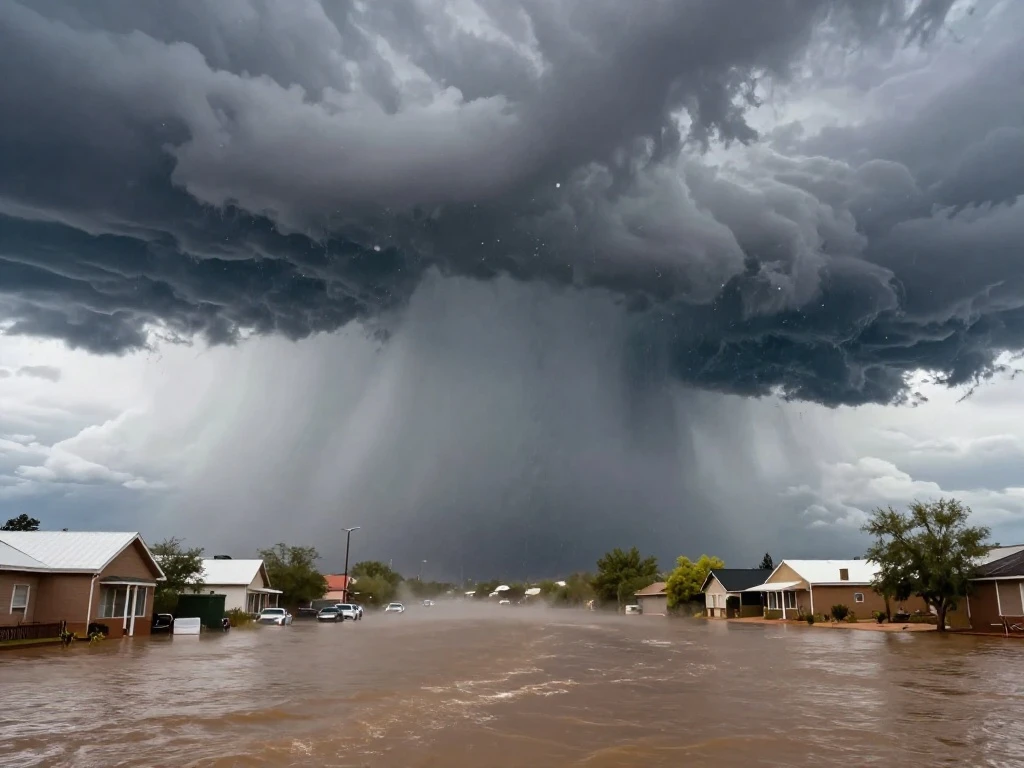
A powerful storm system swept through Arizona overnight Tuesday and into Wednesday, unleashing golf ball-sized hail, damaging wind gusts, and a rare tornado watch across northern and central parts of the state. The National Weather Service issued multiple warnings as severe thunderstorms pounded the region, urging residents to seek shelter and stay away from windows. Hailstones measuring 2 to 3 inches in diameter pummeled roofs, shattered windows, and dented cars, causing significant property damage. The Navajo County Sheriff’s Office reported minor injuries and substantial damage, including displacing families from their homes. “We have families without power, significant property damage, and at least one reported injury,” a spokesperson said in a statement. The storm’s intensity caught many off guard, as tornado watches are uncommon in Arizona, highlighting the unusual nature of this weather event.
In addition to the hail and wind, flash flooding became a major concern. Powerful floodwaters sent mud and water rushing downhill through Clifton, Arizona, causing significant damage to the town. Major flooding also inundated parts of Hurricane in southwestern Utah on Thursday, prompting local officials to issue evacuation orders as water surged through neighborhoods and roadways. The FOX Forecast Center noted that damaging wind gusts and hail are expected to remain the primary hazards as the system moves through. The combination of severe thunderstorms and flash flooding created a dangerous situation for residents, with emergency responders working tirelessly to assist those affected.
Meteorologists are drawing parallels between this event and past severe weather outbreaks during strong El Niño winters. According to the FOX Forecast Center, two of the past three super El Niño winters—1997-1998 and 2015-2016—brought significant severe storm outbreaks mainly across the Gulf Coast, Southeast, and Southern Plains. While Arizona is not typically associated with such severe weather, the current pattern suggests a heightened risk for extreme events. Residents are advised to stay informed through local weather alerts and to heed evacuation orders when issued. As the storm system continues to move, communities are bracing for further impacts and beginning the process of recovery and damage assessment.

 Shimanta Das