Italy’s Weather Rollercoaster: From Scorching Heat to Impending Storms
As Italy braces for the peak of summer, the latest weather forecasts indicate a dramatic shift. The African anticyclone, which has been dominating the region, is set to maintain its grip until Ferragosto (August 15), bringing intense heat and humidity across the country. However, the respite is on the horizon, with thunderstorms expected to roll in from Sunday into Monday, offering a much-needed cooldown. This transition is part of a broader pattern affecting Europe, where water availability for vegetation has reached critically low levels, and forest fires are a growing concern, particularly in France and Spain.
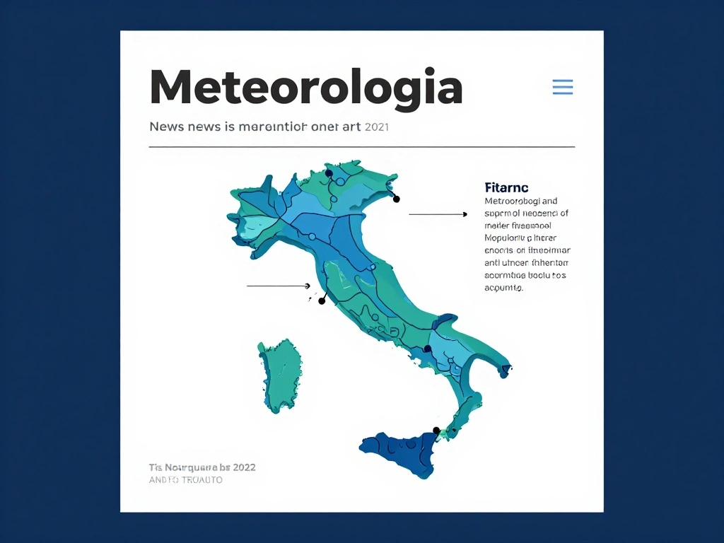
In the immediate term, Thursday and Friday will see scattered showers in Calabria and Sicily, while the rest of Italy enjoys sunny skies and continued high temperatures. The mercury is forecast to soar, with daytime highs reaching 33-34°C in many areas, and overnight lows remaining warm at 19-21°C. Winds will be light to moderate, predominantly from the east, with speeds ranging from 6 to 34 km/h. The predictability of the forecast is generally high, though there is a slight uncertainty for Friday afternoon, when a 25% chance of precipitation is noted in some regions.
This weather pattern is influenced by two key factors: above-average sea surface temperatures and a developing El Niño event, which, based on current data, is expected to be strong. These conditions are exacerbating the heat and contributing to the heightened fire risk across the Mediterranean. The situation has already turned deadly, with eight people losing their lives on March 5 and 6 due to weather-related incidents, underscoring the severity of the season.
As we navigate this volatile period, our team continuously updates the latest developments in our NewsFlash and provides in-depth analysis in our MeteoBlogs. For those planning outdoor activities, it’s crucial to stay informed and prepared for sudden changes. While the heat will persist through the weekend, the incoming storms could bring relief but also potential hazards, such as flash floods and strong winds. Stay tuned for real-time updates and heed local warnings to ensure safety during this dynamic weather phase.

 Shimanta Das