Germany’s Drought Crisis: How the Dürremonitor is Revolutionizing Early Warning and Climate Adaptation
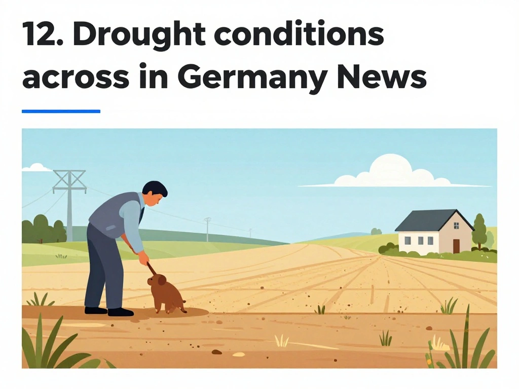
Germany is facing increasingly severe drought conditions, with recent years seeing the Rhine River at critically low levels, forcing cargo ships to carry only 25% of their usual load. This crisis has underscored the urgent need for robust monitoring systems, and the Dürremonitor Deutschland (Germany Drought Monitor) has emerged as the nation’s primary early warning tool. Developed at the UFZ, this high-resolution system provides daily updates on soil moisture, plant-available water, and drought severity across the country, comparing current conditions to a 1974-2023 baseline. Its 1 km spatial resolution and multi-layer soil analysis—tracking both surface soil (0-25 cm) and the total soil column (up to 1.8-2 m depth)—offer unprecedented detail for agriculture, water management, and emergency planning.nnFor farmers, the monitor is a lifeline. As Professor Dietrich Borchardt of the UFZ explains, “The topsoil is especially important for the agricultural sector, and for cereal crops and grasses, which have very shallow roots.” The system tracks plant-available water content, indicating stress levels for vegetation and crops. This allows for precise irrigation planning and early assessment of crop stress, helping mitigate losses. Moreover, the monitor’s long-term comparison and return period analysis (identifying 3-year to 50-year drought events) enable policymakers to understand drought frequency and intensity, informing adaptation strategies.nnWater resource managers also rely on the Dürremonitor to guide reservoir operations and drought response. The monitor’s daily updates and 14-day rolling average provide stable yet timely assessments. Bernd Kirschbaum emphasizes that “The most important thing is water retention on land,” highlighting the need for proactive measures. The system’s data, sourced from the German Weather Service (DWD), the Federal Institute for Geosciences and Natural Resources (BGR), and other agencies, supports everything from emergency preparedness to insurance risk assessments. Its real soil depth modeling based on German soil survey data (BÜK200) ensures accuracy for local-scale decisions.nnAs climate change intensifies droughts, the Dürremonitor Deutschland stands as a
 Shimanta Das