
Flash Flood Threat and Severe Storms Forecast Across Texas, Kansas, and the Central United States
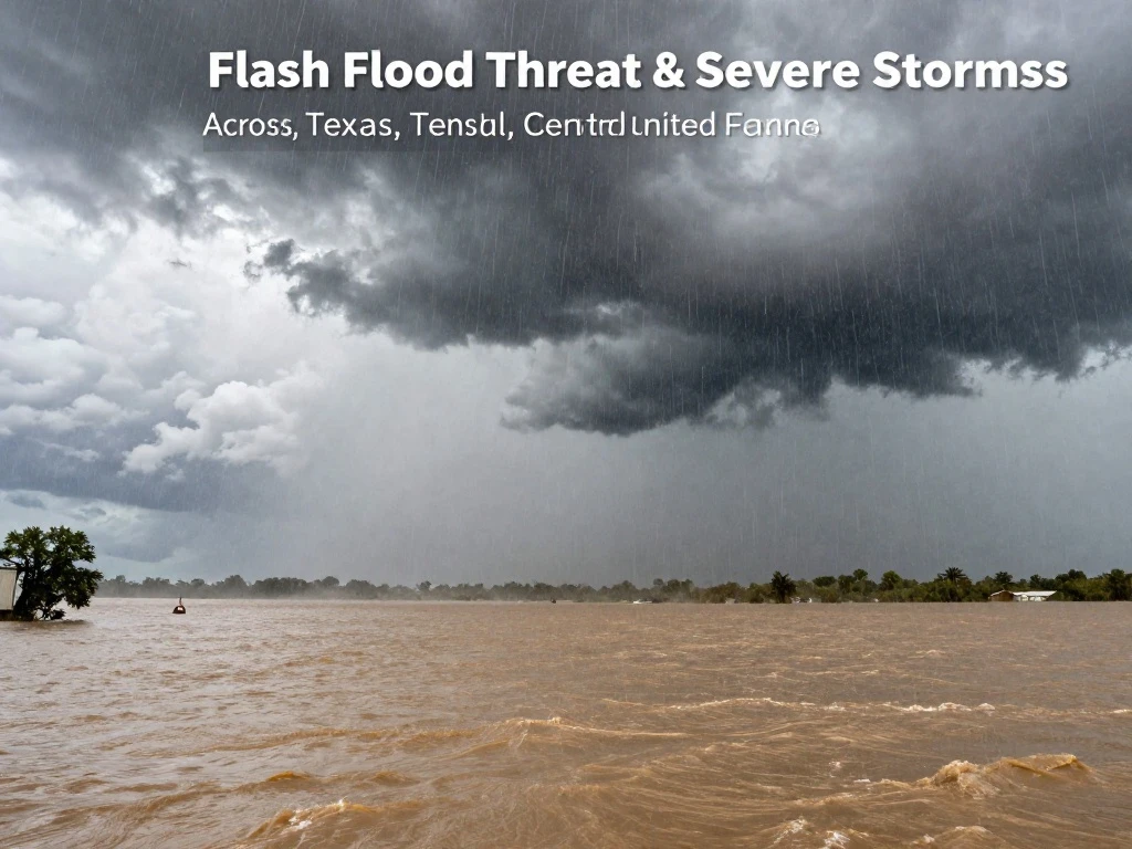
A multi-day flood event is unfolding across the central and southern Plains, with heavy rain and severe storms expected from Texas and Kansas into the Ohio Valley. The Weather Prediction Center has maintained a Marginal Risk for excessive rainfall and flash flooding through Thursday, as tropical moisture streams northward into the nation’s heartland. Rainfall totals of 1 to 3 inches are possible, with locally higher amounts, prompting concerns for rapid water rises and dangerous travel conditions.
The threat comes as the remnants of former Hurricane Polo, combined with record late-September tropical moisture, flow northward from the Desert Southwest. This surge of moisture, which began on Monday, Sept. 28, has already soaked parts of Arizona, New Mexico, Texas, and Nebraska. In Texas, flooding rains have swamped communities, and dramatic rescues have been reported, including a Fort Worth firefighter lifting a woman to safety from rising waters. Damaging wind gusts are expected to be the main severe threat, alongside the flash flood risk, as storms roll through areas like Wichita, Kansas.
While the wet pattern poses hazards, it also brings relief to drought-stricken regions. Areas across Oklahoma, Southern Missouri, and Texas have been enduring persistent extreme to exceptional drought, and the upcoming rainfall will help alleviate those conditions. However, the heavy downpours may also lead to localized flooding, especially in areas with poor drainage or where the ground is already saturated. Residents should stay alert for flash flood warnings and avoid driving through flooded roadways.
Looking ahead, cooler regions are expected to return to near-normal conditions by Thursday, followed by a notable warm-up in the Northern Rockies and Plains, where temperatures could climb 10 to 20 degrees above average by Saturday. Meanwhile, showers and thunderstorms will continue from the Southern Plains into the Ohio Valley, with record warmth possible in the Central U.S. As this dynamic weather pattern evolves, it is crucial to monitor local forecasts and heed any evacuation or safety advisories. The combination of flash flood threats and severe storms underscores the importance of preparedness during this active weather week.

 Shimanta Das