Hurricane Polo Rapidly Intensifies to Category 4, Poses Flood Threat to U.S. Southwest
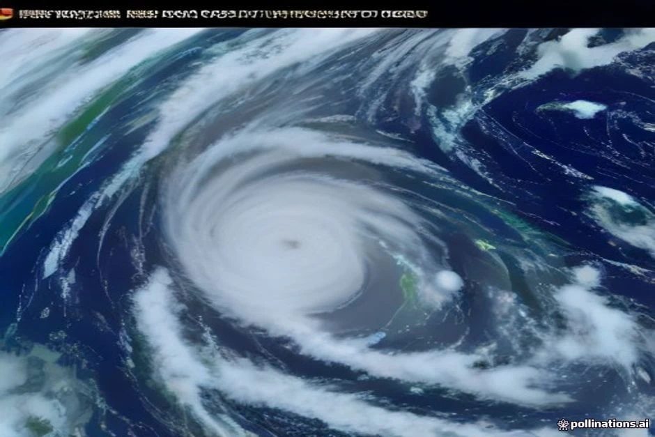
Hurricane Polo has rapidly intensified into a Category 4 storm, now posing a significant flood threat to the U.S. as it parallels the Mexican coast. In Acapulco, the region’s most important port city that was left reeling by a devastating hurricane in 2023, fishing boats normally bobbing in the ocean were pulled onshore on empty beaches as waves and dark clouds swirled nearby. The storm is expected to remain offshore, though it could fringe part of the coastline with low-end tropical storm-force winds, which is why a tropical storm watch is in effect from Tecpan de Galeana to Manchello, Mexico.
nn
According to the National Hurricane Center (NHC), Polo is expected to remain a major hurricane as it parallels the Mexican coast this week, with its center remaining offshore. However, the storm’s impact will be felt across New Mexico, with a Level 3 out of 4 flash flood threat issued for southern parts of the state, including Las Cruces, on Tuesday. This comes amid a rapidly strengthening El Niño which has supercharged the Pacific, producing 18 named storms across both the Central and Eastern parts of the basin with more than two months remaining in the hurricane season. El Niño intensifies with nearly 100% odds strengthening into ‘super’ status as Atlantic hurricane season peaks.
nn
Key factors contributing to Polo’s rapid intensification include extremely warm waters between 86 and 88 degrees, which provide ample energy for the storm. Additionally, the winds aloft have been mostly calm, creating an environment very hospitable to significant strengthening. While Polo’s core is expected to remain offshore, that remains a highly uncertain scenario, and residents in affected areas should stay alert for updates.
nn
As of the latest update on Sep 22, 2026, 7:00 PM UTC, Polo was a Category 5 storm with 178 mph winds and a central pressure of 892 mb, though it has since weakened slightly to Category 4. The storm’s trajectory and intensity will continue to be monitored

 Shimanta Das